Tasks, work done and photos are recorded from the phone on the specific block. Data from machinery, weather and satellites gives context for decisions.
- Farm plan and work in the fieldIn ViaCRM
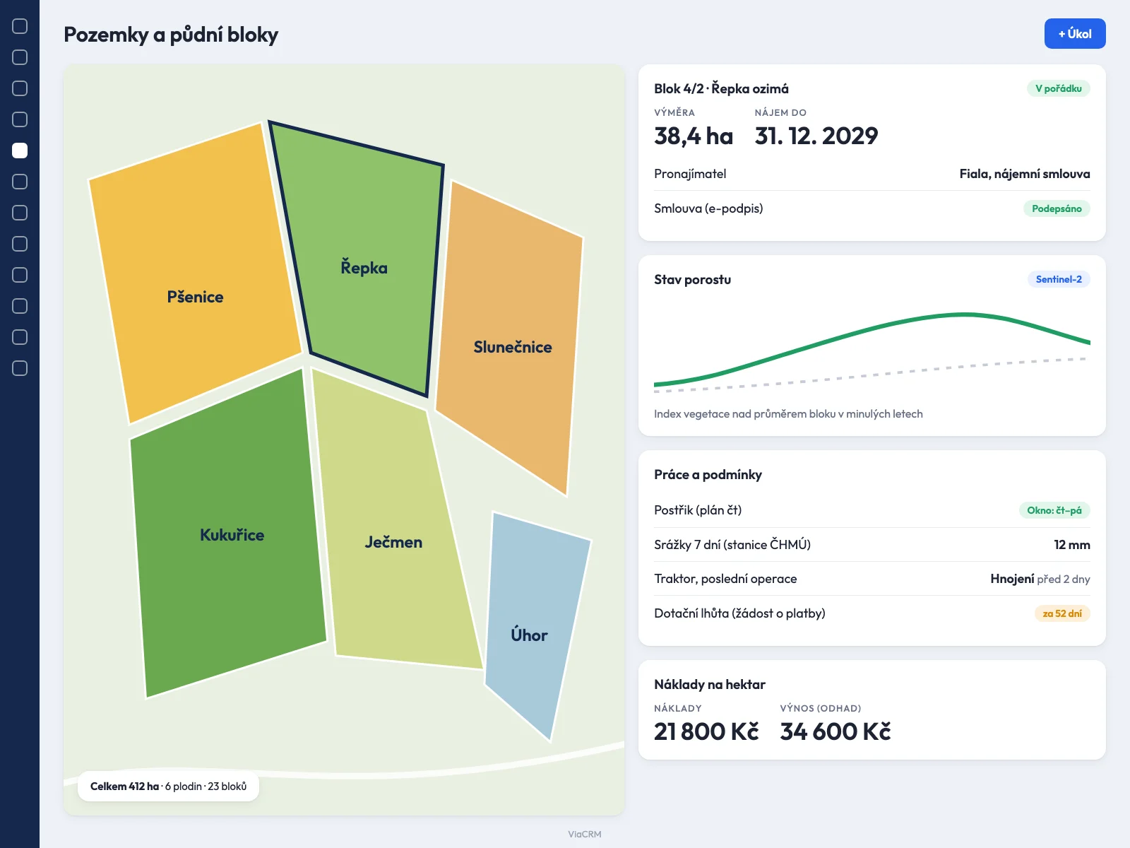
- Crop rotations, planned operations (sowing, fertilising, spraying, harvest) and tasks for workers and machinery. On a field block you see what was done and when, and the basis for the statutory record of fertiliser and product use is produced.
- Mobile app for the fieldIn ViaCRM
- A worker sees tasks by field block, records work done, uploads photos of damage or weeds and notes with a GPS position. Data is saved to the specific block even without signal and transferred when connected.
- Machinery and manufacturer telematicsSystem connection
- Agricultural machinery manufacturers offer interfaces for access to machine data, for example John Deere Operations Center or CNH FieldOps. Position, engine hours, completed operations and faults can be shown on the parcel and a fault can create a service task. The data available is set by the manufacturer.
- Weather and rainfallSystem connection
- The Czech Hydrometeorological Institute publishes data from its measuring stations as open data. Rainfall and temperature can be shown for a parcel and a suitable window for spraying or harvest flagged.
- Satellite imagery and crop conditionSystem connection
- Imagery from the Copernicus programme's Sentinel-2 satellites is freely available. From it, the condition of the crop on a field block can be shown and its development compared over time.
- Maps and orthophotoSystem connection
- Base maps and aerial imagery (for example the ČÚZK orthophoto) and route planning through a map interface. You see parcels and blocks in the context of their surroundings and machines take the shortest path.